
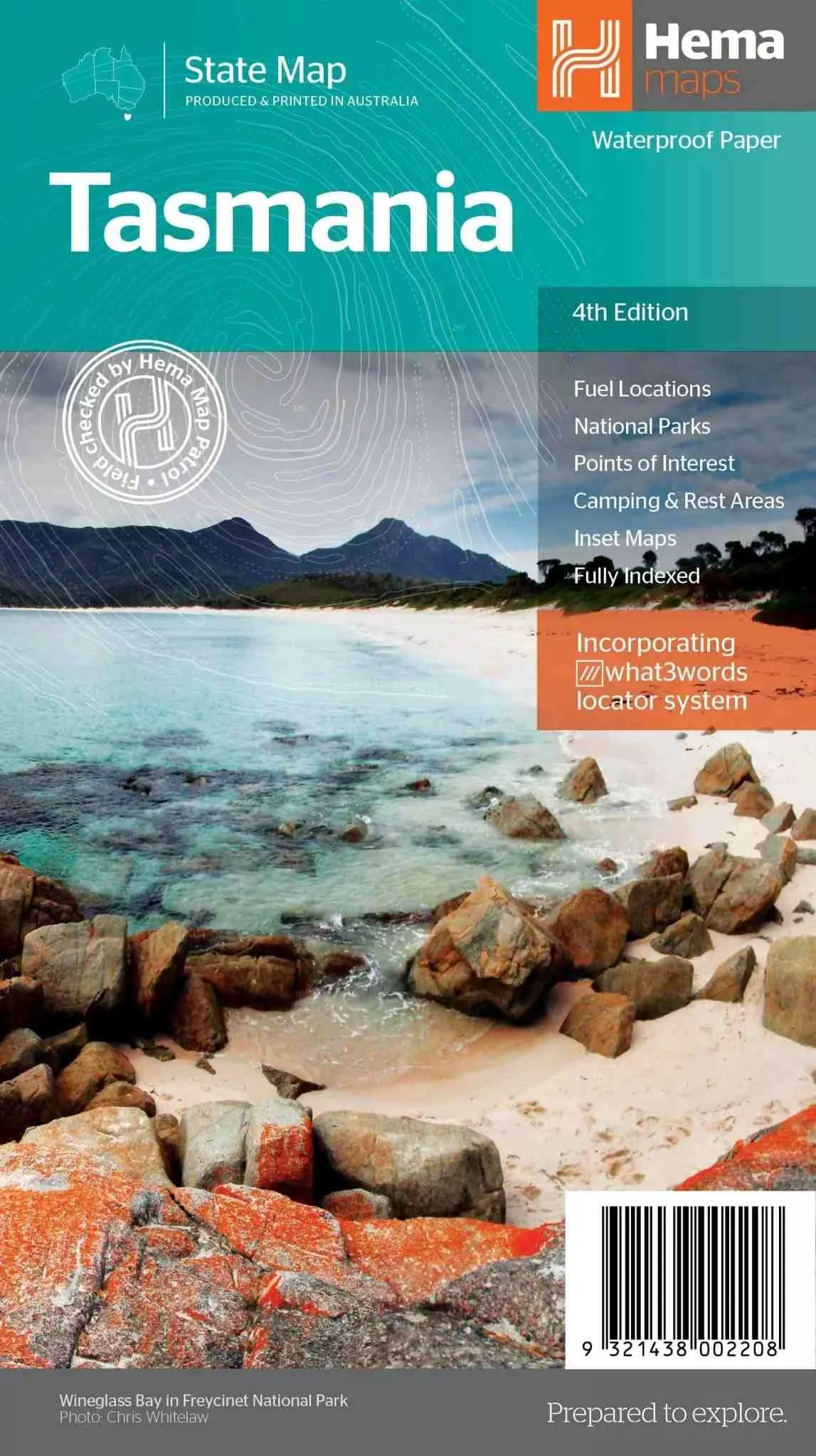
Tasmania State Map – 4th Edition
Experience the natural beauty and cultural heritage of Tasmania with Hema’s 4th Edition Tasmania State Map. Fully updated and field-checked by Hema’s Map Patrol, this comprehensive map provides exceptional accuracy and detail. With a fully indexed state map at a 1:500,000 scale, plus additional maps of key regions and national parks, this is an essential guide for exploring Australia’s island state.
Features
- Fully updated and indexed primary map of Tasmania at 1:500,000 scale
- Highlights national parks, fuel locations, campsites, and caravan parks
- Detailed maps of:
- Zeehan and Region (including Lake St Clair and Franklin-Gordon Rivers National Park) at 1:250,000 scale
- Freycinet National Park at 1:125,000 scale
- Southwest National Park at 1:200,000 scale
- Hobart & Region at 1:250,000 scale
- Complete list of visitor information centres
- Table showcasing Tasmania’s National Parks and Reserves with key features and facilities
- Regional summary of key attractions in North West Tasmania, Launceston, Tamar, and the North
Key Specifications
- Edition: 4th
- Publication Date: 15/02/21
- Scale: 1:500,000 (Primary Map)
- Folded Size (WxHxD): 140mm x 250mm x 3mm
- Flat Size (WxH): 700mm x 1000mm
- Weight: 0.09kgs
Perfect for tourists and locals alike, this map is designed to help you navigate Tasmania’s diverse landscapes and attractions. From the unspoilt wilderness of national parks to Hobart’s vibrant cityscapes, it’s the ultimate companion for your Tasmanian adventure.
About Hema Maps:
Hema Maps is Australia’s trusted leader in cartography, renowned for producing high-quality, durable maps. With field-checked data and extensive touring content, their maps are the ideal resource for travellers exploring the country’s unique landscapes and attractions.









 No products in the cart.